/O.NEW.KTFX.WW.Y.0002.071220T0100Z-071221T0100Z/
BEAVERHEAD-MADISON-GALLATIN-
INCLUDING THE CITIES OF...DILLON...ENNIS...BOZEMAN...
WEST YELLOWSTONE
246 PM MST WED DEC 19 2007
...WINTER WEATHER ADVISORY IN EFFECT FROM 6 PM THIS EVENING TO
6 PM MST THURSDAY...
THE NATIONAL WEATHER SERVICE IN GREAT FALLS HAS ISSUED A WINTER
WEATHER ADVISORY...WHICH IS IN EFFECT FROM 6 PM THIS EVENING TO
6 PM MST THURSDAY.
MOISTURE WILL WILL INCREASE ACROSS SOUTHWEST MONTANA TONIGHT ALONG
WITH AREAS OF LIGHT SNOW. SOUTHERN PORTIONS OF
BEAVERHEAD...MADISON...AND GALLATIN COUNTIES NEAR THE IDAHO BORDER
CAN EXPECT 3 TO 6 INCHES OF SNOW...6 TO 12 INCHES IN THE
MOUNTAINS. LOCALLY HEAVY SNOW CAN BE EXPECTED AT TIMES AT HIGHER
ELEVATIONS. STRONG WINDS WILL CAUSE PERIODS OF BLOWING SNOW AND
POOR VISIBILITIES ACROSS PASSES AND EXPOSED AREAS.
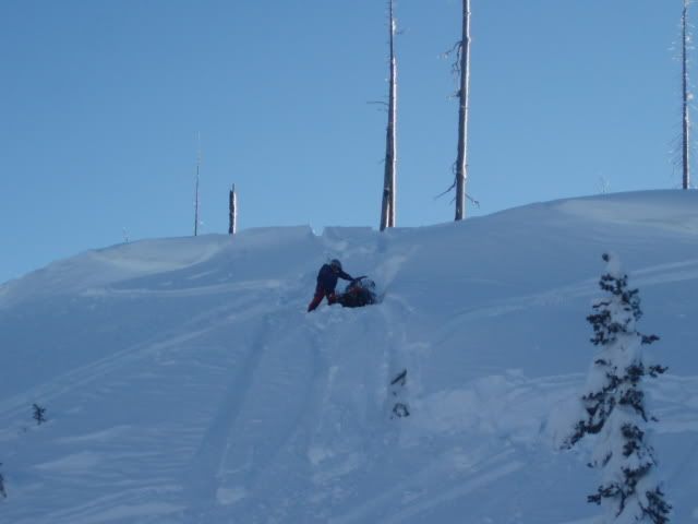
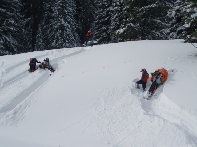
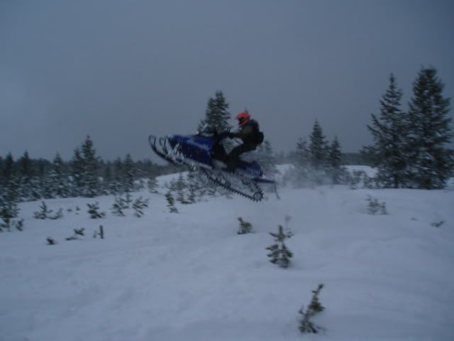
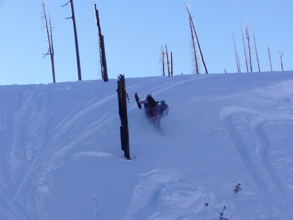
Just got home about an hour ago and it is snowing with winds. Looks like we could pick up some good amounts the next few days.
Jesse, You need to take a valium and calm down or your gonna work yourself into the big one before you even get here...................


 at strozzies!! Hell I might even help ya get unstuck once
